Berg Lake Corridor – Visitor Use Management Plan
On this page:
Overview
Who: The Ministry of Environment and Climate Change
What: A draft visitor use management plan for the Berg Lake Corridor
Where: Mount Robson Provincial Park
Why: To inform initial planning
How: Online
Background
Mount Robson Park was established in 1913 and is the second oldest park in the BC Parks system. When the initial management plan for Mount Robson Park was developed in 1992 (updated in 2011 (PDF, 6.7MB)), one recommendation was to have a second plan that focused solely on recreation management within the Berg Lake Corridor due to the intensive recreation the area receives.
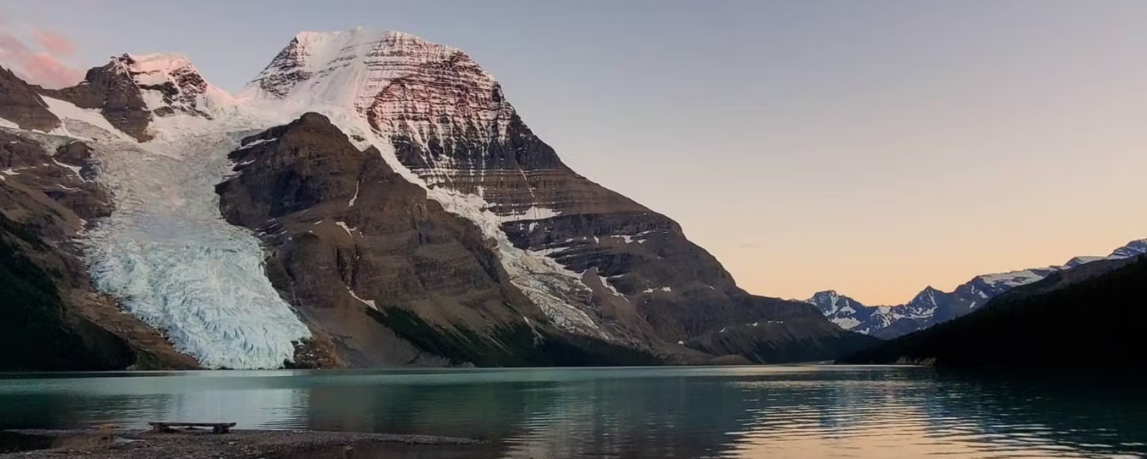
The Berg Lake Corridor includes the well-known Berg Lake Trail and the surrounding area, including Mumm Basin, Whitehorn Mountain, Mount Robson, and Snowbird Pass. The current Berg Lake Corridor Plan (2000) (PDF, 600KB) was based on a master’s thesis from the 90’s and did a great job at providing direction for a variety of important considerations such as trail/facility development, reservations, campsite numbers, and general carrying capacity. The original plan was made for a span of 25 years, from 2000-2025, thus it is nearing the end of its cycle and needs to be updated and have content added to fill some important gaps.
Engagement summary
This Visitor Use Management (VUM) Plan update will ultimately refine the direction to effectively manage recreational use within the corridor and create a vision for the next 25 years, while maintaining consistency with the broader Mount Robson Park Management Plan.
Over the coming years, the project team will seek public feedback at various points throughout the planning process. To begin, it is critical to understand what partners, interest groups, permit holders, and the public consider to be key values and highlight any concerns so the Berg Lake Corridor can be appropriately managed for future generations.
Results
Read the What We Heard Report (PDF, 14MB)

