Muskwa-Kechika Backcountry Parks and Protected Areas – 25th Anniversary!
Categories:
Blog written by Natasha Ewing.
The Muskwa-Kechika Management Area (M-KMA) in northern B.C. contains 1.17 million hectares of protected land and includes 16 parks, five protected areas, and two ecological reserves. The area is named after two great rivers that traverse the region: the Muskwa and the Kechika.

2024 is a big year for many parks and protected areas in the M-KMA, as it marks 25 years since their establishment in 1999: Denetiah Park and Corridor Protected Area, Dall River Old Growth Park, Toad River Hot Springs Park, and Prophet River Hot Springs Park; Redfern-Keily Park, Liard River Corridor Park, Graham-Laurier Park, and Horneline Creek Park. Regional land use planning in the 1990s led to these areas being designated as protected areas to protect them for future generations.
The network of protected areas across the M-KMA connects the landscape to maintain mountain ecosystems and provide a refuge for diverse and abundant wildlife. The protected areas are home to bison, mountain goats, Stone’s sheep, caribou, moose, elk, fisher, grizzly, and black bear, amongst many other species. The Kechika River runs through the Rocky Mountain Trench, an important migration corridor for many bird species, especially waterfowl.
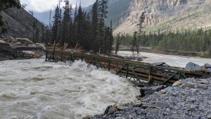
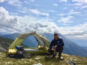
The area is renowned as a world-class destination that boasts alpine meadows, glaciers, jagged peaks, raging rivers, old growth forests, and exceptional flora and fauna around its hot springs. Although access is difficult, many people venture out for a hike, river adventure, or to backcountry camp to experience the diverse natural beauty of this special place.
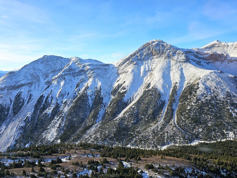
The Kaska First Nations, Kwadacha First Nation, Treaty 8 First Nations, and Tsay Keh Dene First Nation all have historic, cultural, and long-standing connections to the land across this region.
The closest communities to these protected areas are Fort Nelson, Fort St. John, Fort Ware, Lower Post, and Toad River.
The region’s settler history includes a land route for the Klondike Goldrush and trapping and outfitting for game since the early 1900s. In 1942, construction of the famed Alaska Highway began, which had a significant impact on what is now the M-KMA by providing road access through the area. The highway also facilitates other forms of access such as riverboat, aircraft, and horseback into remote protected areas.
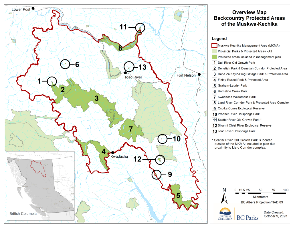
Recently, BC Parks has been developing management direction for several of the protected areas in the M-KMA. In 2021, park management plans for Northern Rocky Mountains Park and Protected Area and Redfern-Keily Park were approved and implemented, and work is currently underway on two management plans for the remaining backcountry and front-country protected areas.
The front-country plan will include Stone Mountain, Muncho Lake, and Liard River Hot Springs, as they receive higher levels of use. The backcountry plan combines the remaining protected areas, which will be managed similarly due to their remoteness, limited access, and few facilities present. The draft, Backcountry Protected Areas of the Muskwa-Kechika: Strategic Management Plan, is now ready for review by the public and interested groups.
You can learn more about the backcountry protected areas and comment on the draft management plan by visiting the project website on Let’s Talk BC Parks.

