Doig River First Nation-B.C. Joint Land Use Plan
On this page:
Overview
Dates: February 4 to March 4, 2026
Who:
- Doig River First Nation
- Ministry of Water, Land and Resource Stewardship
What: Land use planning with the Doig River First Nation
Where: Northeast
Why: To create a new Joint Land Use Plan
How: Online, in-person, virtual, open house, email updates
Engagement summary
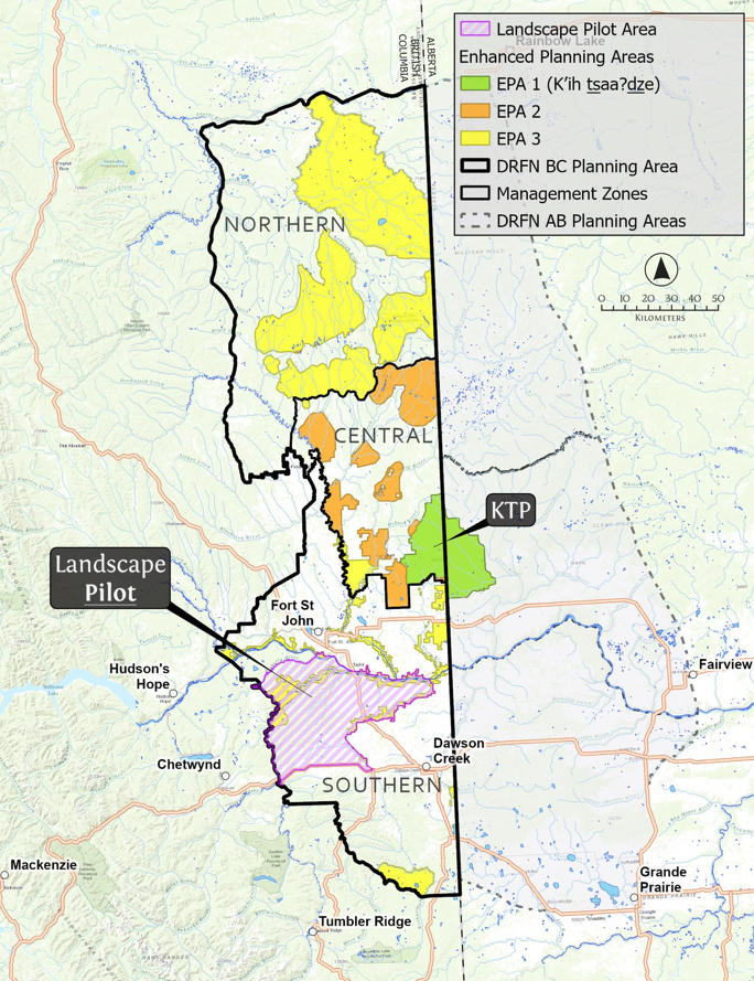
Doig River First Nation and the B.C. government want to restore important land and waterways. They also want to create jobs and protect places that are important to the Nation’s culture. They will work together on a new Joint Land Use Plan. This plan will be based on the Nation’s own Land Use Plan and on feedback from community members.
Both Doig River First Nation and the Province want the engagement process to be open and easy for people to join. Members of Doig River First Nation, tenure holders, industry, community groups, local governments, and the public will all have a chance to take part. Everyone will be involved and updated on the development of the Joint Land Use Plan.
The Province will also work respectfully with other First Nations by keeping them informed and consulting with them when needed.
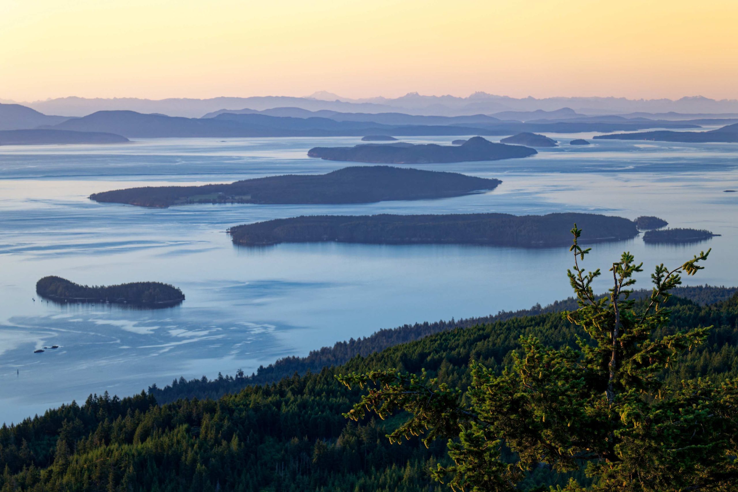
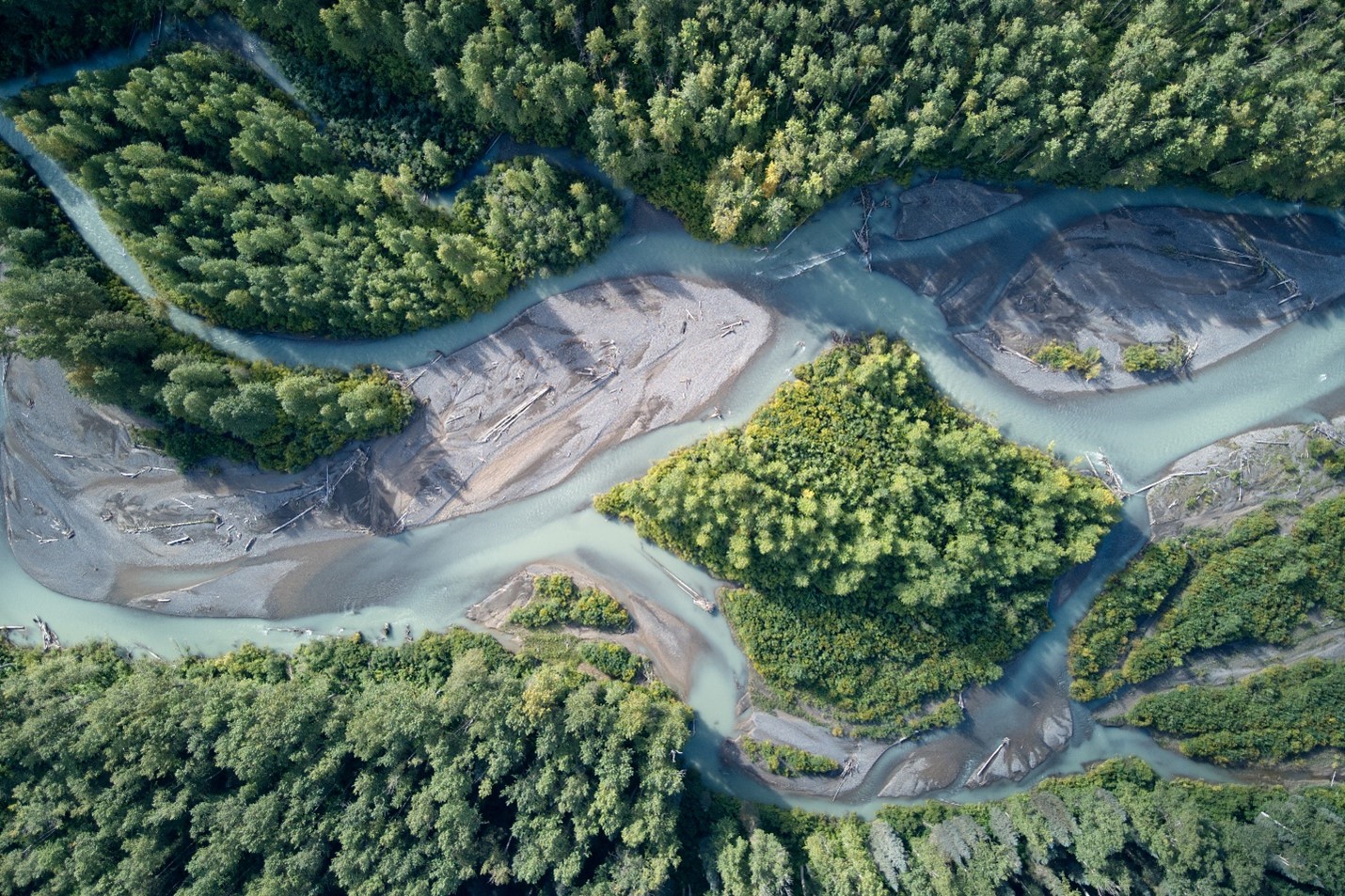
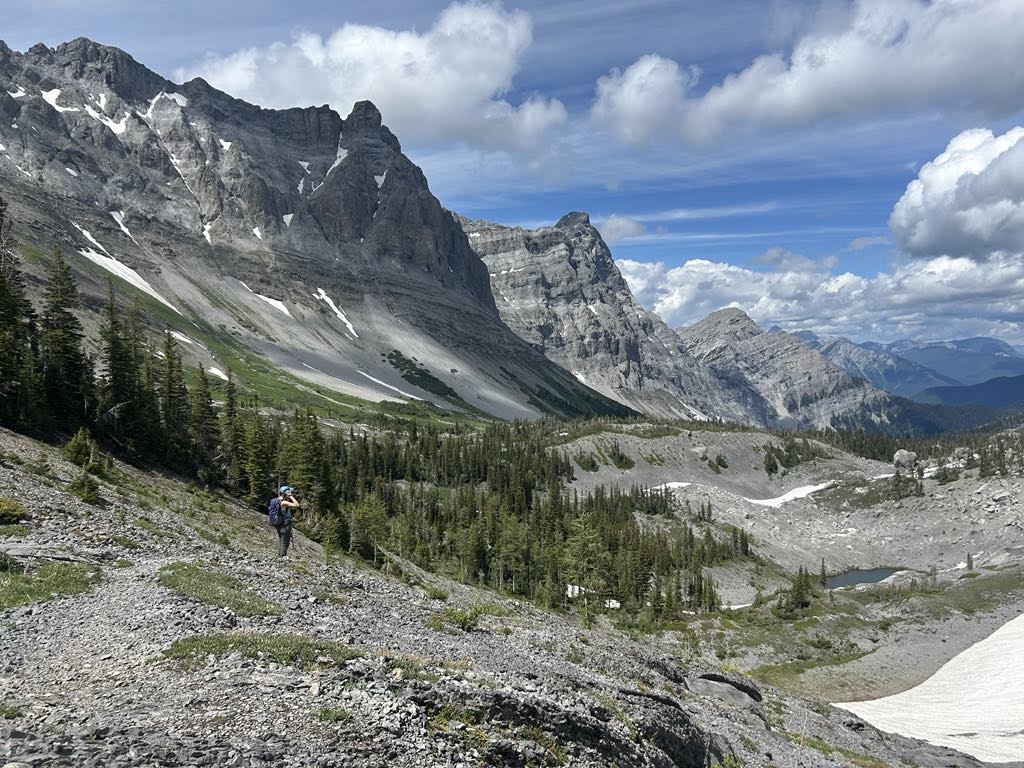
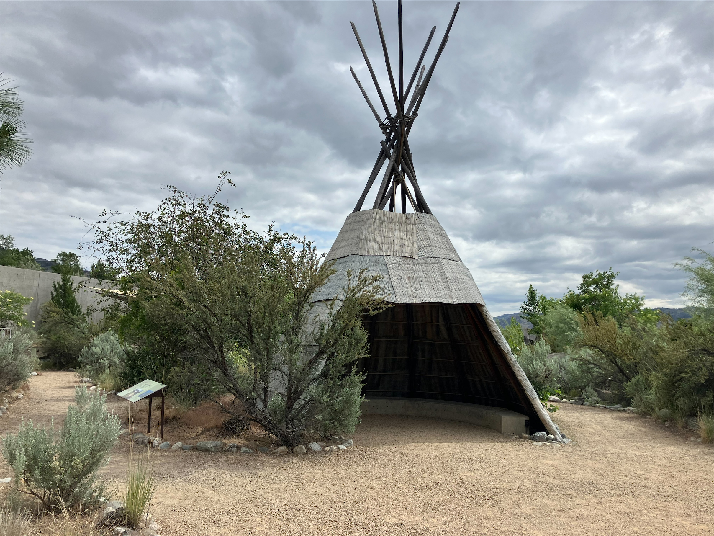
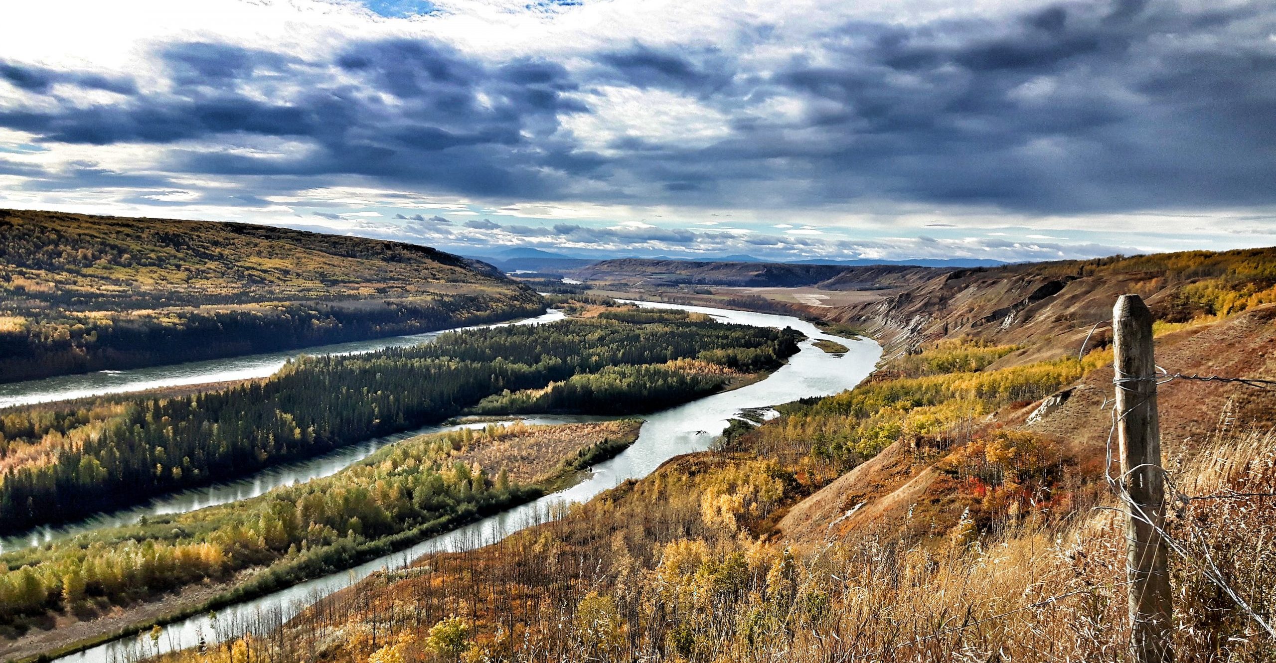
Photo credits: Doig River First Nation
Results
A What We Heard report (PDF, 3MB) has been created to summarize the values, interests, priorities and connections to the JLUP area and K’ih tsaaʔdze (KTP) that were shared during the initial engagement phase from January 2026 to March 2026. The summary of feedback received is based on:
- Invitation letters sent to over 60 First Nations, municipalities, tenure holders, industry associations, land user groups, and environmental organizations
- Online survey from February 4 to March 4, 2026 interested parties
- Public information events held between January and – March 2026
More information on the project webpage.
Related engagements