Land Transfers in Northeast British Columbia
On this page…
- Engagement summary
- Treaty Land Entitlement
- TLE Settlements and Land Agreements
- Site C Tripartite Land Agreements
- How we engage
- How to provide feedback
- How feedback will be considered
- Land parcel information – selection maps and spatial data
- Status of land transfers
Overview
Who: Treaty 8 First Nations and Government
What: Transferring land owed to Treaty 8 First Nations
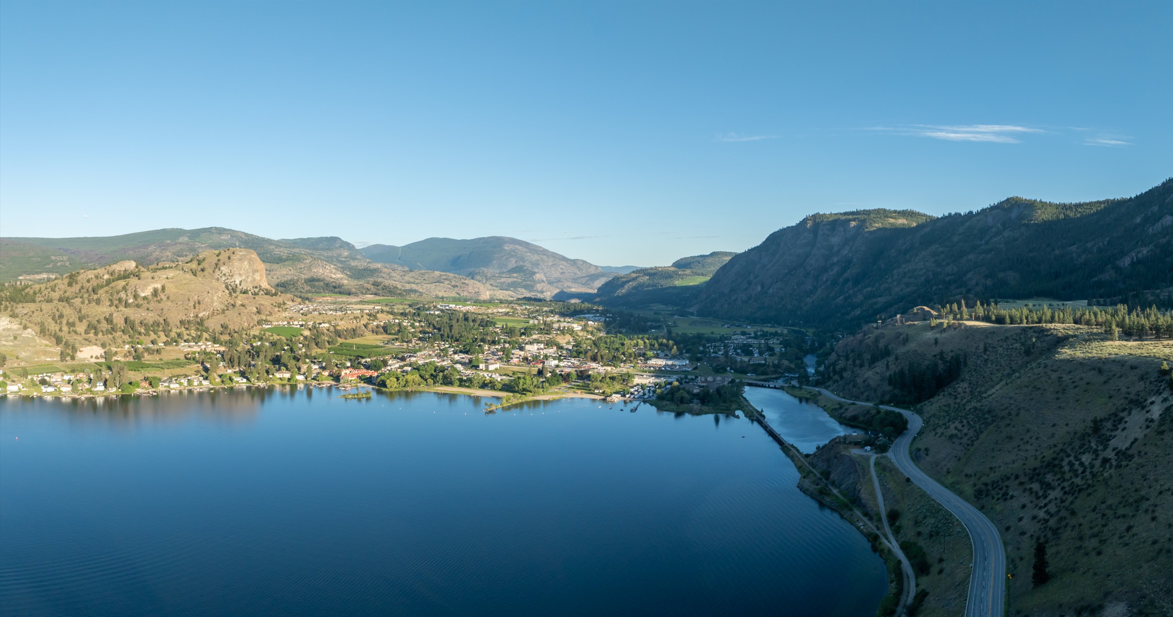
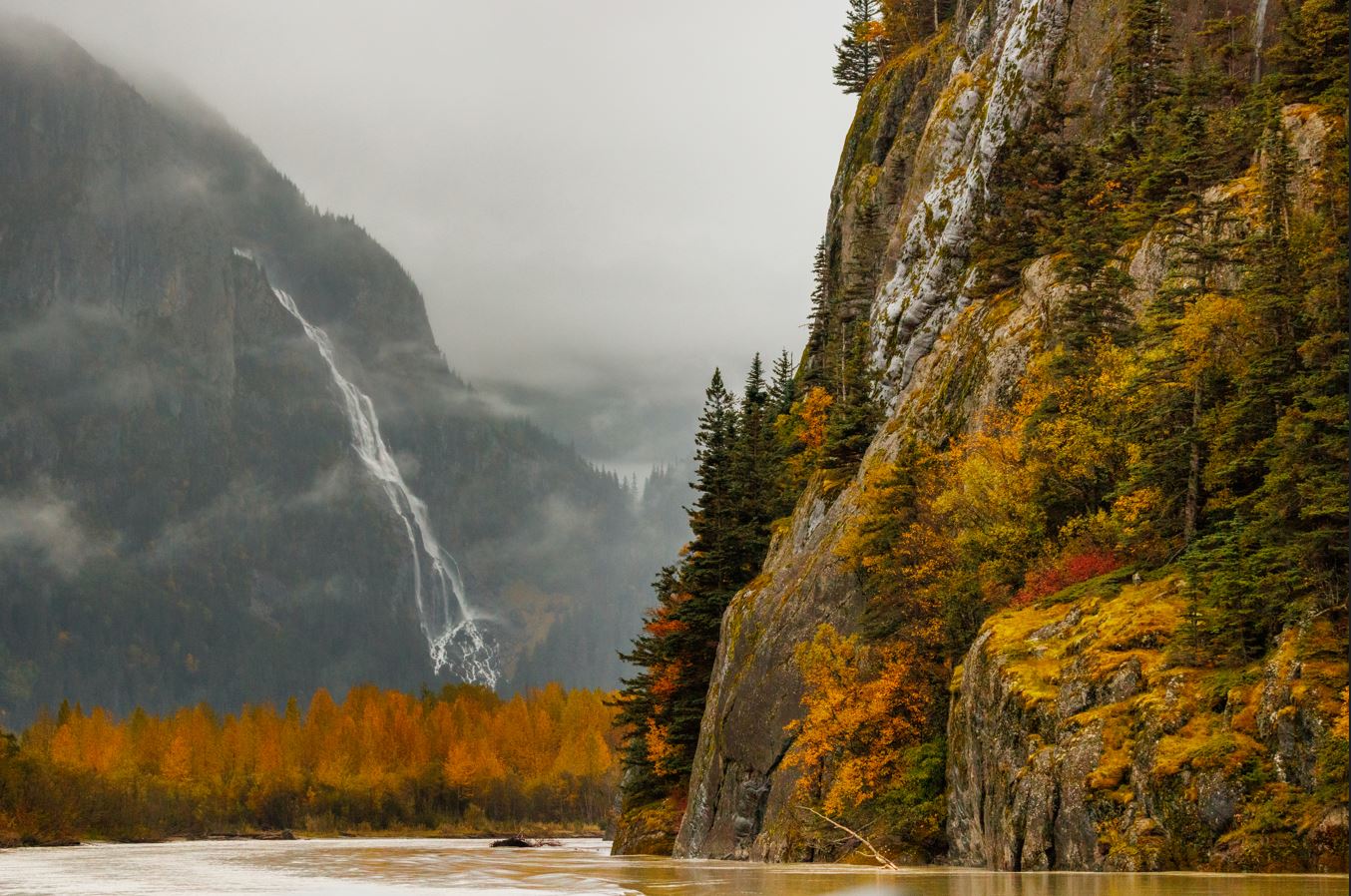
Where: Northeast B.C.
Why: To build relationships and advance reconciliation
How: Letter, Email
Engagement summary
The Province is transferring lands in northeast B.C. as part of Treaty Land Entitlement (TLE) and Site C Tripartite Lands Agreements (TLA) – see below for details.
Public engagement is now open for West Moberly First Nations’ Treaty Land Entitlement Lands Agreement Outstanding Lands Phase 1 package. This engagement period will run until June 30, 2026. Use the Feedback Form for West Moberly First Nations Phase 1 TLE (PDF, 193KB) to provide written comments.
Submit comments by letter or email to:
Ministry of Indigenous Relations and Reconciliation
Suite 100-10003 110th Avenue
Fort St. John, BC V1J 6M7
Email: MIRR.Northeast@gov.bc.ca
The Province of British Columbia (the Province) is working with Treaty 8 First Nations to strengthen relationships and advance reconciliation based on mutual respect and recognition of Treaty rights.
Together, the Province and Treaty 8 First Nations are working to implement the transfer of Crown lands that are owed to Treaty 8 First Nations. Land transfers fall into two main categories:
- Treaty Land Entitlement (TLE) lands to address lands promised but not provided since the signing of Treaty 8
- Site C Tripartite Land Agreements (TLA) lands to compensate for impacts of the Site C Clean Energy Project on Treaty 8 rights
To support these transfers, the Province establishes temporary protection (e.g., under section 17 of the Land Act) over land selections. These protections keep these Crown lands as-is while land transfer processes are underway.
Once a transfer is complete, access to the land will require permission from the respective First Nation, as the lands will wither be private or federal reserve lands.
The Province works with First Nations to prioritize sequencing and planning of land transfers.
Treaty Land Entitlement
Following the signing of Treaty 8 between 1900-1914, the Government of Canada (Canada) allocated reserve land to eight First Nations in northeast B.C. Under Treaty 8, the Crown guaranteed the First Nation signatories would receive land according to a population-based formula. Some Treaty 8 First Nations did not receive all the land they were entitled to under the signed Treaty, because not everyone was counted when Treaty 8 was pit in place, so they filed TLE claims seeking resolution with the Province and Canada for the lands owed to them under Treaty 8.
On April 15, 2023, five Treaty 8 First Nations in B.C., alongside provincial and federal government representatives, announced settlement and lands agreements of the Nations’ TLE claims.
The five Treaty 8 First Nations that currently have TLE settlements are:
- Blueberry River First Nations and Doig River First Nation (in a joint claim)
- Halfway River First Nation and West Moberly First Nations (in a joint claim)
- Saulteau First Nations
Honouring treaty obligations to First Nations and working collaboratively to renew relationships are fundamental to addressing historical wrongs and advancing reconciliation with Indigenous Peoples in Canada. The TLE settlements have the potential to create improved economic opportunities for the entire northeast region of British Columbia.
For more than 100 years, Treaty 8 First Nations were deprived of the use and benefit of thousands of acres of land owed to them under treaty, while the resources on and under those lands were taken and developed by others.
The resolution of the TLE claims is the result of dedicated efforts by successive First Nation councils, staff, membership and negotiators since 2004. The TLE settlements demonstrate the federal and provincial governments’ commitment to advancing reconciliation – one that shows commitment to build trust, acknowledges and respects the Treaty relationship, and helps build a better future for all Canadians.
TLE Settlement and Lands Agreements
Under the TLE settlement agreements, Canada has provided the First Nations compensation for these losses and costs relating to the claims. In addition to this, the Province will make available approximately 44,266 hectares (109,385 acres) of Crown land to the First Nations. The settlement agreements consider the following:
- The transfer of Crown land in BC:
- Shortfall Land: land that will be transferred directly to Canada to become federal reserve land, as owed to the First Nations to make their reserves the size they should have been after Treaty 8 was signed, and
- Additional Land: land that will be made available for purchase by the First Nation, at fair market value. Some of this land will be transferred directly to Canada to become federal reserve land, while other portions will be transferred as fee simple lands. Land transferred in fee simple would be subject to laws, bylaws, zoning regulations and property taxes- like any other private property. Some of the fee simple lands may later be considered for additions to reserve or creations as reserve through the federal Addition to Reserve (ATR) process.
- Financial settlement from the federal government for lost opportunity for not having the Shortfall Land over the last 100 + years.
*fee simple = privately owned land registered under the provincial Land Title Act
Site C Tripartite Land Agreements
In 2013, Canada and the Province established a Joint Review Panel to examine the Site C Clean Energy Project; a public hearing was held and the Panel’s final report in May 2014 (PDF, 7MB) determined that Site C would have adverse impacts to treaty rights of some Treaty 8 First Nations.
The Province heard from Treaty 8 First Nations, some of whom opposed the Site C project, and their perspectives were an important part of the Province’s deliberations on whether to proceed with the project.
Site C Agreements have been signed between:
- BC Hydro
- Province of British Columbia
- Treaty 8 First Nations:
- Doig River First Nation
- Halfway River First Nation
- McLeod Lake Indian Band
- Prophet River First Nation
- Saulteau First Nations
- West Moberly First Nations
Blueberry River First Nations is also in ongoing discussions with the Province regarding a potential Site C Tripartite Land Agreement.
Commitments under the Site C Agreements related to land transfers include:
- Crown land in BC being transferred to First Nations, as private land (fee simple*), which would be subject to laws, bylaws, zoning regulations and property taxes — like any other private property.
- First Nations may apply to the federal government to add these land selections to an existing reserve or to create as a new reserve through the federal ATR process.
*fee simple = privately owned land registered under the provincial Land Title Act.
Conversations regarding land transfers under Site C agreements are at various stages and include opportunities for public engagement.
How we engage
The Province is engaging with partners to share information about the land transfer process and proposed land selections, and to hear comments and feedback to be considered as part of decision-making. While many TLE selections are already closed for engagement, the Province will seek input at the start of the process for any newly proposed parcels, including any interests or concerns from interested parties. This feedback will be reviewed and shared with First Nations and decision‑makers.
The Province engages with the following partners:
- Tenure holders (with permits/leases/licenses/tenures that overlap parcels proposed for transfer)
- Local governments
- Interest groups (industry, recreation, conservation)
- Public
Engagement is conducted through in-person open houses, the govTogether website, correspondence (e-mail and letters) and the Northeast Roundtable. The Roundtable is a place for local governments, interest groups and First Nations to meet and discuss the land transfer process. It is also a place to help build awareness of government’s work on reconciliation and partnerships with First Nations. The Roundtable has been meeting since 2018 and continues to meet to discuss regional and provincial land and resource initiatives in northeast B.C.
Read the What We Heard from Stakeholders Report (PDF, 2MB) (November 2021)
Read the notes from the Charlie Lake open house (PFG, 400KB) held March 11, 2020
Read the notes from the Red Creek open house (PDF, 300KB) held March 12, 2020
How to provide feedback
Members of the public are invited to provide written comments about how they may be impacted by proposed land transfers for new Crown land selections. Currently these include certain parcel selections from Saulteau First Nations, and certain new parcels from West Moberly First Nations.
Public engagement is now open for the West Moberly First Nations’ Outstanding Lands Phase 1 package. This engagement period will run until June 30, 2026.
Use the form for the West Moberly First Nations Phase 1 TLE (PDF, 193KB) to provide written comments.
Comments may be submitted by letter or e-mail to:
Ministry of Indigenous Relations and Reconciliation
Suite 100-10003 110th Avenue
Fort St. John, BC V1J 6M7
E-mail: MIRR.Northeast@gov.bc.ca
How your feedback will be considered
We will continue to compile feedback in a detailed record, which will be considered as part of decisions for the transfer of Crown lands through TLE settlements and Site C Land Agreements.
At this time, public engagement has closed for the TLE land parcels currently identified by Blueberry River, Doig River, and Halfway River First Nations. Engagement on those parcels ran from May 30, 2019 to January 30, 2022.
Opportunity for public comment on Saulteau First Nations’ TLE Settlement and Site C Tripartite land Agreement land parcels closed on March 17, 2024. The Province may carry out additional engagement sessions with public or interested parties on certain parcels in response to comments received.
Engagement will remain open for West Moberly First Nations’ new selections and as other land selections become ready, they will be uploaded to the table listed on this page.
Land parcel information – selection maps and spatial data
Public engagement has closed for the land parcels previously engaged on as part of the TLE Lands Agreements for Blueberry River, Doig River, Halfway River First Nations and West Moberly First Nations (denoted by * asterisk in the table below). Parcel-specific discussion may continue with certain interested parties to resolve third party interests on the TLE lands (such as permits, licences, leases, and tenures) while land transfers are finalized. The maps in the table below identified with an asterisk indicate the TLE land selections that have been selected as part of the TLE Lands Agreements and are closed for public engagement. Please note that the maps will be replaced with a legal survey once carried out by a surveyor.
The Province will engage with interested parties on new Crown land selections; currently these include Outstanding Lands parcel selections from West Moberly First Nations. The Outstanding Lands are from a portion of West Moberly First Nations’ TLE land quantum that has not yet been allocated.
Note: As additional TLE and Site C land selections are submitted by First Nations, this section will be updated with all pertinent information, including spatial data.
Once all overlapping tenures and other issues have been addressed, the land parcels will be finalized for transfer.
Click the links in the table below to open overview maps, parcel-specific maps and spatial files (.KMZ) for use in Google Earth. Note that these parcel areas are subject to changes while the land transfer process is underway.
More information on importing KML/KMZ map data into Google Earth.
| Blueberry River First Nations | Doig River First Nation | Halfway River First Nation | McLeod Lake Indian Band | Prophet River First Nation | Saulteau First Nations | West Moberly First Nations | |
| Parcel Overview | Overview Map* | Overview Map* | Overview Map* | + | + | Overview Map | Lands Agreement Overview Map* |
| Outstanding Lands Overview Map | |||||||
| TLE Parcels | Detailed Selection Map* | Detailed Selection Map* | Detailed Selection Map* | Detailed Selection Map* | Lands Agreement detailed selection map* | ||
| Outstanding Lands Phase 1 | |||||||
| Site C Parcels | + | Detailed Selection Map* | + | + | Detailed Selection Map* | + | |
| Spatial Data | KMZ file* | KMZ file* | KMZ file* | + | + | KMZ file -TLE selections* | KMZ file – Lands Agreement* |
| KMZ file – Site C selections* | KMZ file -Outstanding Lands |
+ = public engagement has not been initiated yet; when parcels are ready, this table will be updated
Status of land transfers
The TLE and TLA parcels that have been closed for public engagement are now being prioritized and implemented for transfer.
The following parcels have transferred or have been prioritized and are almost ready to be transferred. These next anticipated parcels are expected to transfer sometime in 2025 or 2026:
| First Nation | Parcel Transferred | Next Anticipated Parcels |
| Blueberry River First Nations |
| Dancing Grounds (TLE Shortfall) |
| Doig River First Nation |
| MyGosh East, Doig South, and Doig East-South (TLE Fee Simple Additional) |
| Halfway River First Nation |
| Chowade (TLE Shortfall) |
| McLeod Lake Indian Band | No parcels to-date | No parcels to-date |
| Prophet River First Nation | No parcels to-date | No parcels to-date |
| Saulteau First Nation | No parcels to-date | No parcels to-date |
| West Moberly First Nations |
|
|
The Province will continue to work with First Nations to prioritize and implement the remaining parcels over time. As the land transfers proceed, the Province will also provide regular updates to local governments and the Northeast Roundtable, along with ensuring periodic updates on this website.
Related engagements